
Few journeys in the Himalayas combine remoteness, technical challenge, and scenery the way the Makalu Sherpani Col & Amphu Lapcha Pass Trek does. The route links two of Nepal’s great mountain regions, the wild Makalu-Barun valley in the east and the famous Khumbu (Everest) region, through two glaciated passes above 5,800 meters. It is not a casual trek. It is a true expedition-style crossing for experienced trekkers who want solitude, big mountains, and a real sense of adventure.
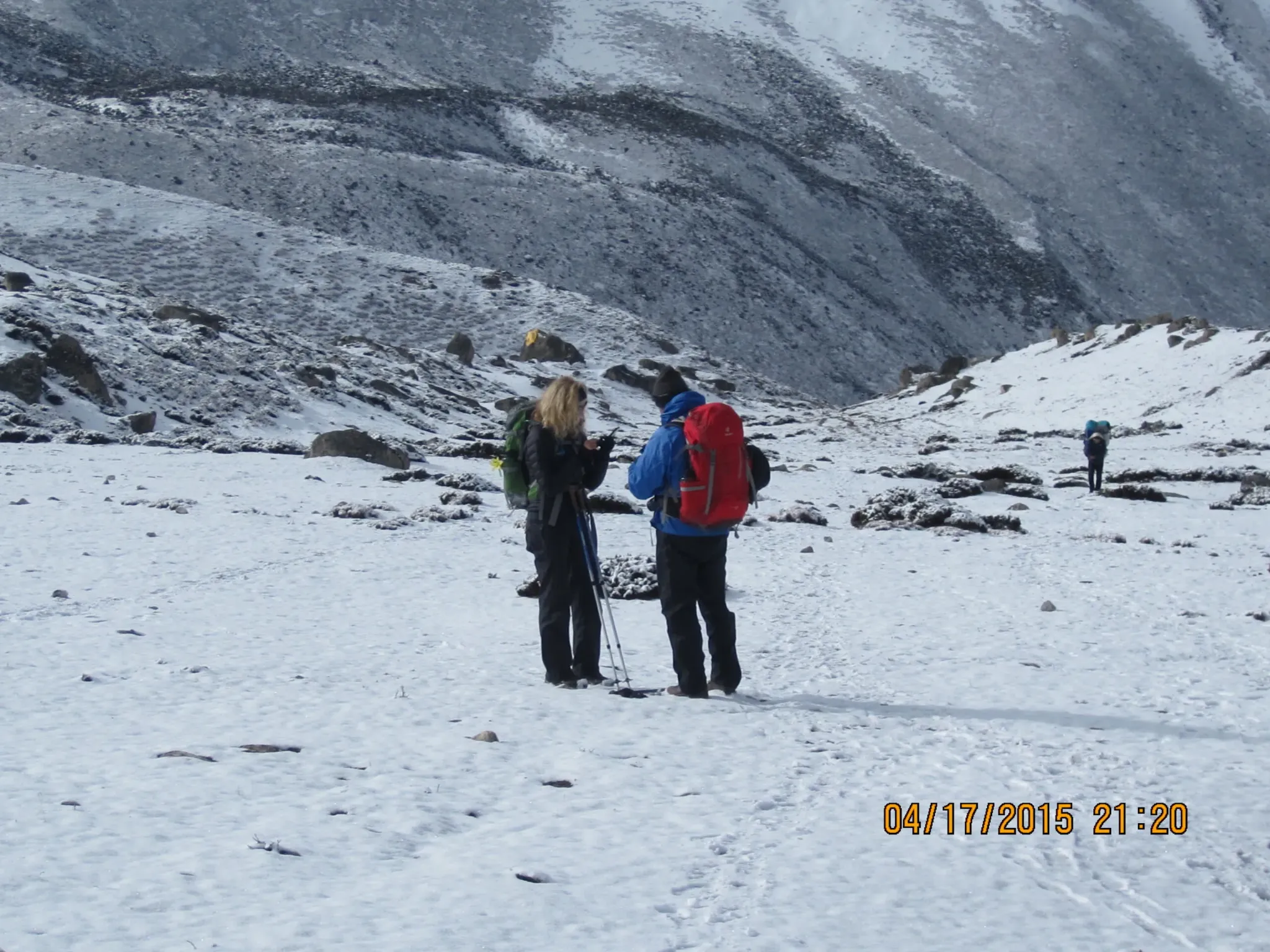
Overview of the Trek
The trek begins in the subtropical foothills of the Arun Valley and climbs steadily through rhododendron forest, alpine meadows, and moraine to the base of Makalu (8,485 m), the fifth-highest mountain on Earth. From Makalu Base Camp, trekkers continue to the foot of Sherpani Col (6,146 m), cross the glacier system into the Barun Valley’s upper basin, then descend toward Baruntse Base Camp. The final obstacle is Amphu Lapcha Pass (5,845 m), which drops into the Imja Valley and the Everest region’s better-known trails.
The complete journey usually takes 24 to 30 days, including acclimatization and weather buffer days. Along the way, you pass beneath Makalu, Baruntse, Lhotse, Peak 41, Chamlang, and Ama Dablam, and finally emerge at Chhukung and Dingboche with Everest’s neighbors dominating the skyline.
Why This Trek Is Special
Remote wilderness. Makalu-Barun National Park and its buffer zone protect one of the most biodiverse landscapes in the Himalayas. Red pandas, snow leopards, Himalayan tahr, and hundreds of bird species live here. Rhododendron and orchid-rich forests give way to open alpine terrain, so you experience several climate zones in a single trek.
Very few crowds. While Everest Base Camp sees tens of thousands of visitors each season, only a small number of trekkers complete the Makalu crossing. Teahouses are limited or basic in the upper sections, and camping is the norm. That isolation is the trek’s greatest reward.
Two high passes, one continuous route. Crossing Sherpani Col and Amphu Lapcha in a single trip is one of the classic challenges of Himalayan trekking. The reward is a rare east-to-west traverse that few itineraries can match.
Cultural contrast. The lower Arun Valley is home to Rai and Sherpa communities with traditions distinct from the Khumbu. You finish among the Sherpa villages of the Everest region, seeing the cultural transition on foot.
Detailed Route Description
Kathmandu to Tumlingtar and Khandbari. Most trekkers fly to Tumlingtar in the morning and drive on to Khandbari, the district headquarters, where permits are checked and final supplies arranged.
Num, Seduwa, and Tashigaon. The trail crosses the Arun River and climbs to villages perched on ridges. This section is warm and green, with terraced fields, cardamom farms, and views opening toward the high peaks. It is a gentle introduction before the serious altitude begins.
Khongma Danda to Dobato. Here the trek enters high forest and crosses the Shipton La. The ridge walking is spectacular on clear mornings, with Makalu’s summit pyramid appearing on the horizon.
Yangri Kharka and Langmale Kharka. Above the tree line the landscape turns rocky and dramatic. Trekkers typically spend an acclimatization day near Langmale before continuing to the main valley.
Makalu Base Camp (about 4,870 m). The base camp sits below Makalu’s colossal south face and near the Barun glacier. Most itineraries allow a rest day here for acclimatization and photography.
Hillary Base Camp and Sherpani Col. From Makalu Base Camp the route continues up the Barun valley to the high camp at the foot of Sherpani Col. The ascent to the col is steep, involving glacier travel, fixed lines where needed, and often roped sections. Trekkers use crampons and ice axes. The col offers extraordinary views of Makalu, Lhotse, Everest’s neighbors, and the Baruntse massif.
West Col and Baruntse Base Camp. After Sherpani Col, the route crosses a second high saddle, West Col, before descending toward the Baruntse basin and its base camp. This stretch requires careful navigation and good weather.
Amphu Lapcha Pass (5,845 m). The final technical challenge is a steep ascent and descent on rock, ice, and snow. The Amphu Lapcha descent ends in the Imja Valley, close to the Amphu Lapcha’s famous glacier lake system and just a short distance from Chhukung.
Chhukung, Dingboche, Namche, and Lukla. The last days follow well-established Khumbu trails to Namche Bazaar and Lukla, where you take a flight back to Kathmandu. After weeks of isolation, the tea houses and bakeries of the Everest region feel like a small celebration.
Difficulty and Fitness Requirements
This is widely considered one of the most demanding trekking routes in Nepal. The challenges include:
-
Altitude: Long stretches above 4,500 m with several nights above 5,000 m.
-
Technical terrain: Glacier travel, steep snow, and exposed sections requiring crampons, harness, and ropes.
-
Duration: Nearly a month of continuous travel with limited resupply.
-
Weather: Cold, wind, and sudden storms are common at high camps.
Trekkers should have previous high-altitude experience, ideally including a 5,000 m+ trek and some basic mountaineering skills. Excellent cardiovascular fitness, strong legs, and mental resilience matter as much as gear. Begin training at least three to four months in advance with hiking, stair climbing, and weighted backpack work.
Best Time to Trek
The most reliable seasons are spring (April to May) and autumn (late September to November). Spring offers blooming rhododendrons and warmer temperatures, while autumn brings stable weather and crisp mountain views. Winter is too cold and snowy for the passes, and the monsoon (June to August) brings heavy rain, leeches, and poor visibility.
Permits and Logistics
You need several permits: the Makalu-Barun National Park permit, local rural municipality entry permits, and the Sagarmatha National Park and Khumbu permits for the final section. Trekking independently is not permitted in restricted or remote regions, so a licensed trekking agency, an experienced guide, and porters are essential. Because much of the route is camping-based, a support team carries tents, food, and technical equipment.
Essential gear includes:
-
Insulated down jacket and warm sleeping bag rated to at least -20°C
-
Mountaineering boots, crampons, ice axe, harness, and helmet
-
Layered clothing, gloves, and sun protection
-
Trekking poles, headlamp, and water purification
-
A comprehensive medical kit, including altitude medication prescribed by your doctor
Travel insurance must cover helicopter evacuation up to 6,000 m. Given the remoteness, this is non-negotiable.
Acclimatization and Safety
Altitude sickness is the biggest risk. Follow these principles: ascend gradually, drink plenty of water, avoid alcohol, and never ignore symptoms such as persistent headache, nausea, or dizziness. Build rest days into your schedule, and be willing to turn back or descend if conditions demand it. Weather, rockfall, and crevasse hazards mean that a professional guide who reads conditions daily is your best safety asset.
Responsible Trekking
The Makalu-Barun region is fragile and remote. Carry out your waste, use biodegradable products, avoid single-use plastics, and respect local customs. Hiring local guides and porters spreads the economic benefit of tourism to mountain communities, and paying fair wages and providing proper gear for support staff is a basic ethical requirement.
Conclusion
The Makalu Sherpani Col & Amphu Lapcha Pass Trek is more than a trek; it is a rite of passage for serious Himalayan adventurers. It rewards preparation and persistence with some of the most spectacular, uncrowded scenery on Earth: the towering pyramid of Makalu, the icy sweep of Sherpani Col, the wild Barun Valley, and the dramatic descent from Amphu Lapcha into the Everest region. It demands fitness, technical skill, and respect for the mountains, but those who complete it come home with an experience few others share.
If you have the experience, the time, and the determination, this route offers one of the most complete and unforgettable journeys in the Himalayas. Plan carefully, choose a reputable operator, prepare thoroughly, and the mountains will do the rest.